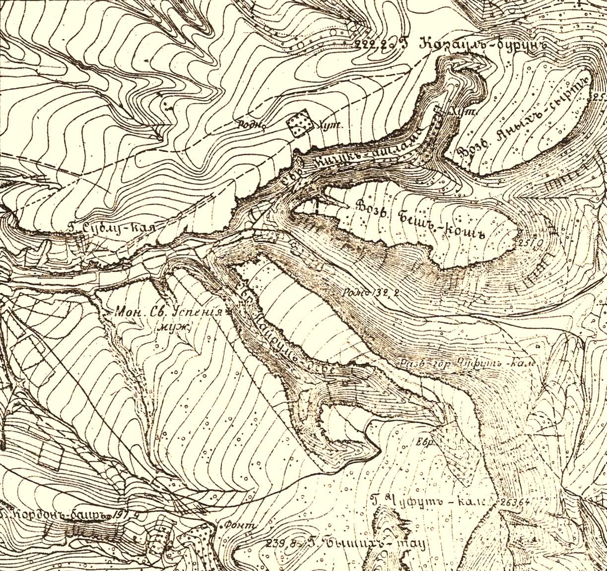
1890 Map Bakhchisaray environs
Nikolai Zharkikh
Detail of "The map of the Crimea land". – S.-Pb.: Military Topographic Depot, 1890. Shooting of captain Pavlov and lieutenant Ignatov, May 1 – November 1, 1890. Scale – 1 versta in inch (1: 42000). On it, as we have seen, we marked the Assumption Monastery, Chufut-Kale and mass microtoponyms.

